

Spring Highlight: Drone Data Collection
/
Above It All
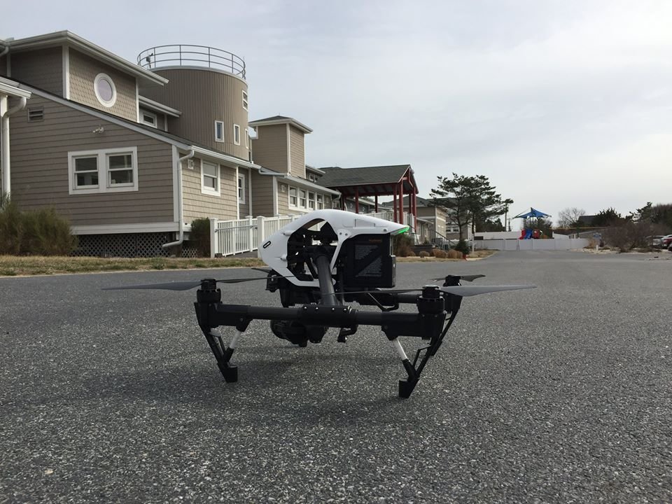
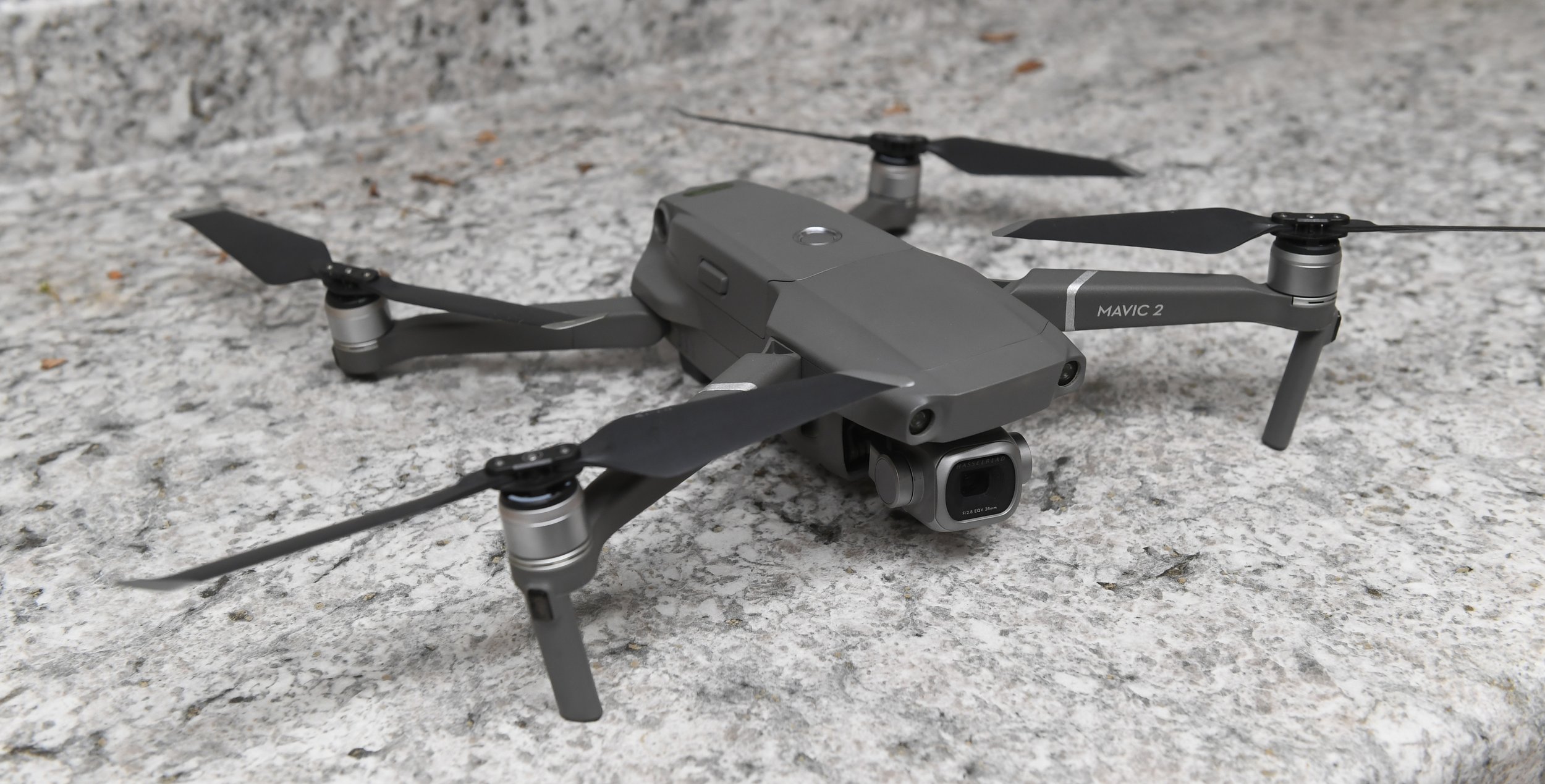
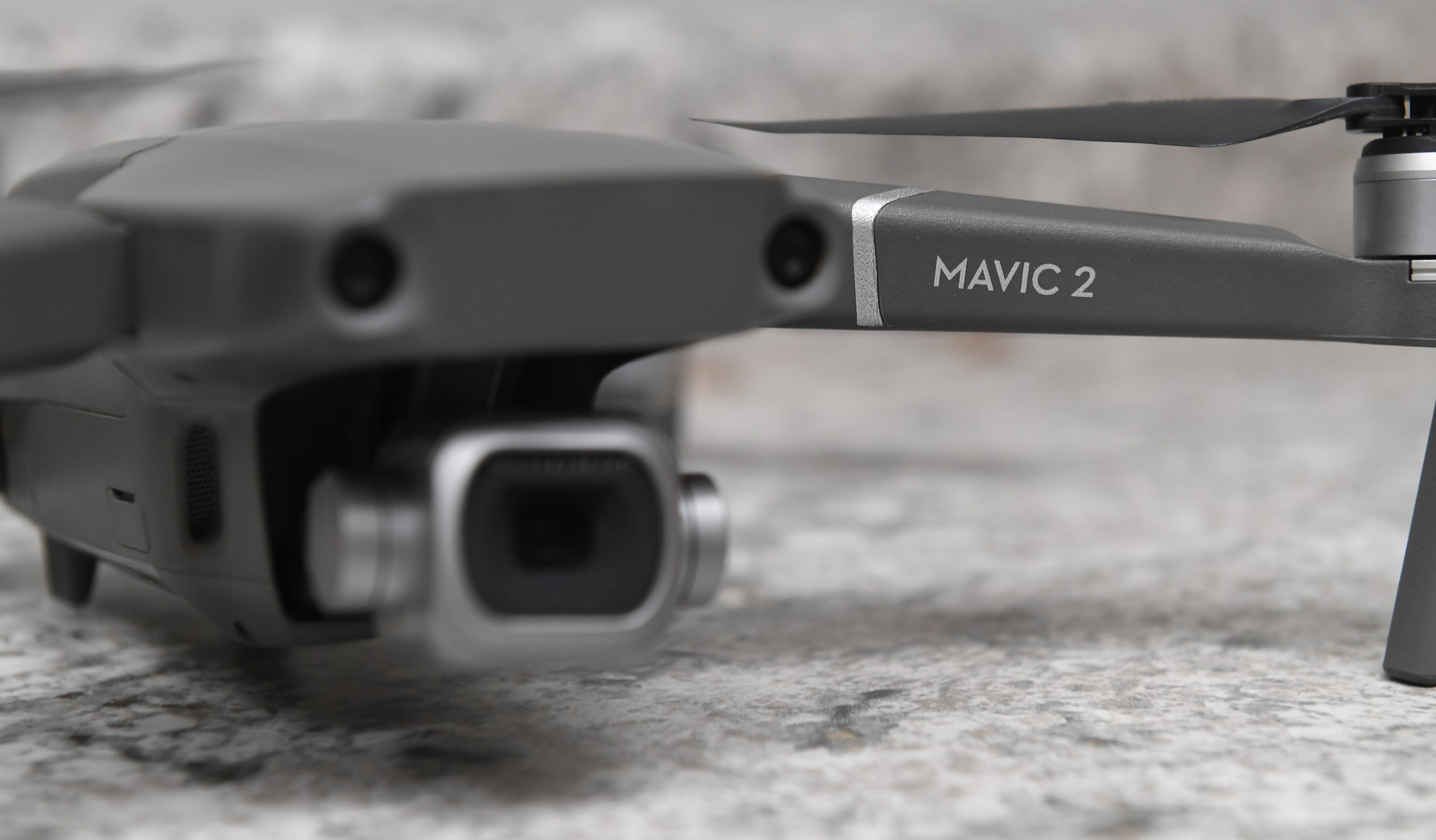
With drone flight technology, we are able to measure things that could never be measured before. By capturing information from the air, we help our clients establish images of existing conditions, create reference points for future site considerations, see areas of concern that are hard to reach, and make educated decisions that we previously could not make.
At SSM, we have three certified FAA Remote Pilots on our team. Drone photography offers a powerful solution for monitoring progress on construction sites, capturing hard-to-reach details on elevated structures, roof inspections and documenting infrastructure on expansive sites.
Spring Flying Season
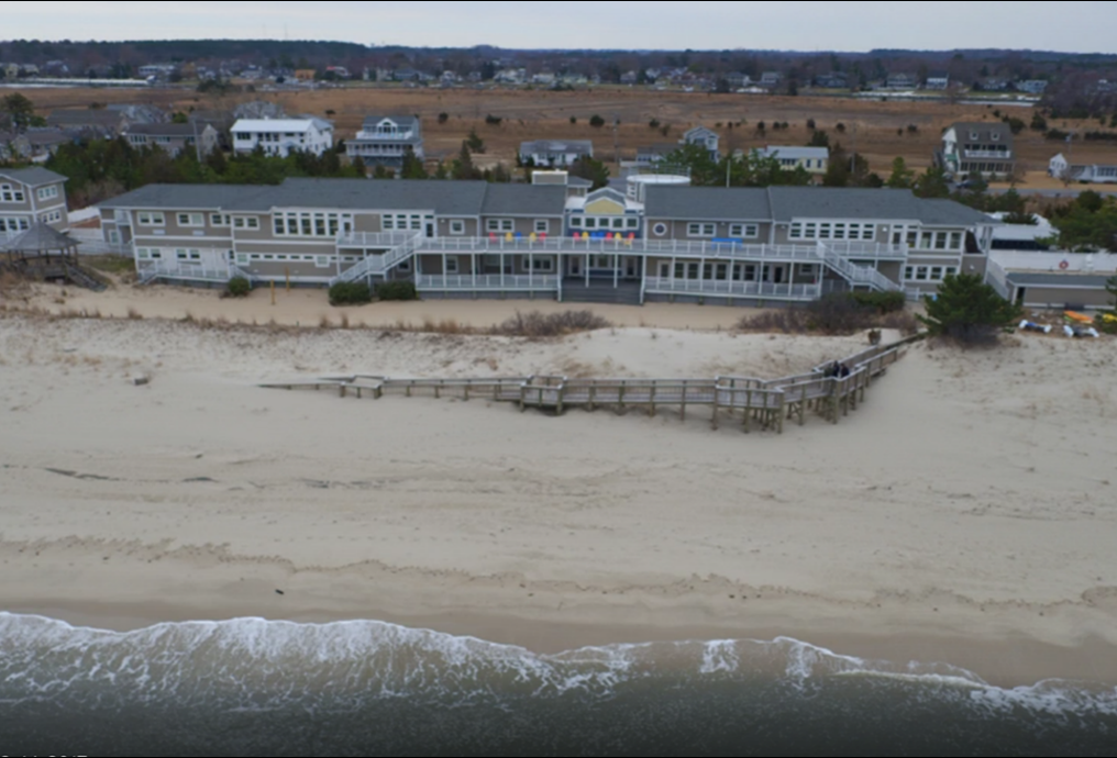
Spring is one of the best times to deploy drone technology or conventional aerial photography from fixed wing aircraft for point data and image collection. Snow-free, leaf-free and sunny conditions allow us to get the best picture and the most accurate information to enhance our clients’ projects.
Now is the best time to get your aerial mapping projects scheduled.
Common Applications:
Construction Monitoring
Volumetric Computations
Site Design and System Layout
Promotional Imagery
Litigation Support
Aerial Site Evaluation and Progress Reports
Rooftop Condition Assessment
Erosion and Damage Assessments