
Story #84 - Surveying and Data Capture
/Story #84 is our expertise in Surveying and Data Capture
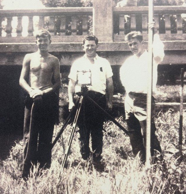
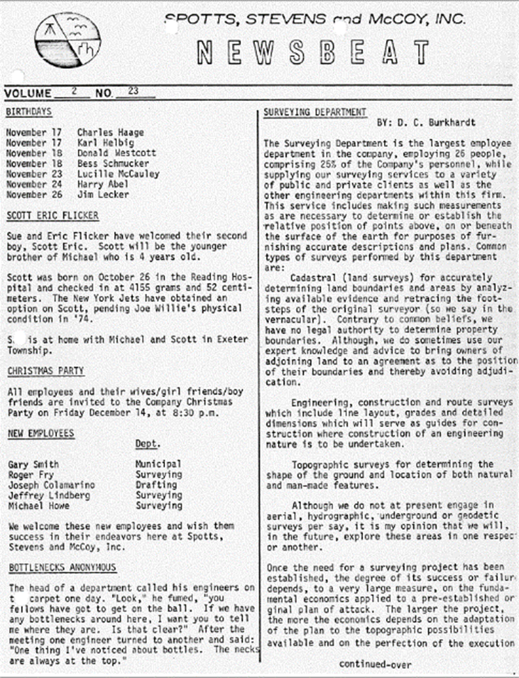
A solid foundation – it started in 1932 with Walter Spotts. As the firm grew, our surveying department continued to be an essential element of our firm’s services. In the early 1970’s our archives show that “the Surveying Department was the largest employee department in the company supplying to a variety of public and private clients as well as the other engineering departments within the firm. The services included making such measurements as are necessary to determine or establish the relative position of points above, on or beneath the surface of the earth for purposes of furnishing accurate descriptions and plans.”
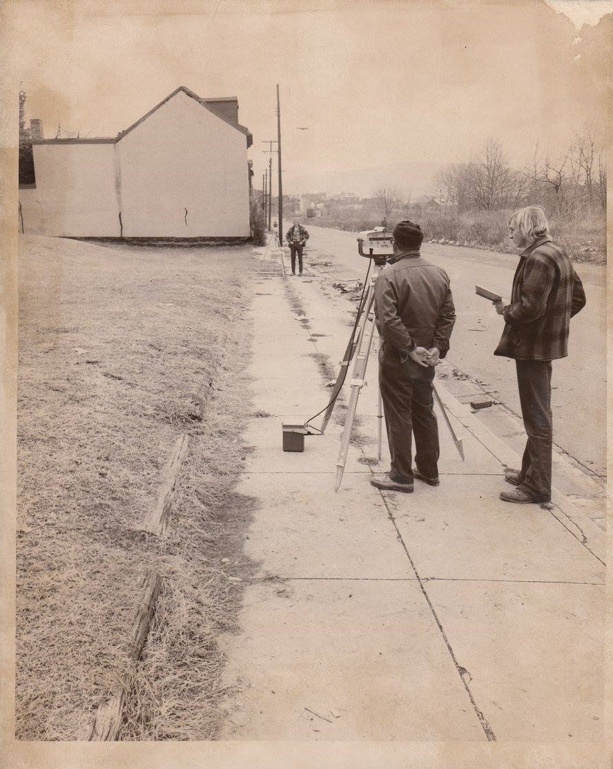
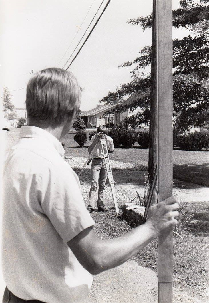
Today our surveying and mapping capabilities cover a lot of ground from new construction to building rehabilitation, campus mapping to treatment facilities, utility lines to golf courses. In fact, our archives contain the most complete record of local survey and site plans in the region. Data points from Total Stations and data collection systems, robotics and other state-of-the-art equipment are transferred electronically to our CAD system for engineering design. We are using drone technology, HDS and BIM on our projects to enhance our collaborative relationships for outstanding results. We can measure things that couldn't be measured before, capture images of existing conditions for future reference, bring information to your fingertips as well as create reference points for future site considerations.
Spotts, Stevens and McCoy Survey and Data Capture Services
Building/Construction
Topographic
Property Survey
Engineering Surveys
High-Definition Scanning
Diverse Methods of Data Collection


Daniel McBrien, CEM has been approved as a Tune-Up Specialist by the City of Philadelphia’s Office of Sustainability.